
This Map Gallery contains pre-made maps (“starter maps”) from the Map Room, which contains over 28,000 mappable data layers! Unsure where to begin? The starter maps are designed to serve as helpful starting points for new and seasoned Map Room users alike. Click any map to explore and customize its contents.
As you explore, note that while the starter maps below are arranged into eight categories, the Map Room contains data pertaining to additional topics. These eight are highlighted because community stakeholders identified them as the categories most aligned with the needs of Stone and Taney counties.
Housing and Family Maps

Learn more about family households in your area using this ZIP-code-level map of family households and married households with children.

Find high concentrations of housing units classified as being in “substandard condition” according to parameters outlined by the U.S. Census Bureau’s American Community Survey.

Use this map to identify the hourly wages and/or hours per week at minimum wage needed to afford housing in your county.
Childcare & Education Maps

Use this map to learn about the childcare cost burden and availability rate of childcare facilities in your county.

Explore school enrollment rates for preschool-age students in your ZIP code.

Use this map to find education attainment rates for your school district. Featured map layers include percentage of population with and without high school diplomas, bachelor’s degrees, and more.
Transportation Maps

Use this map to identify ZIP codes with both low walkability scores and large percentages of households with no motor vehicle.

Identify commuting patterns in your census tract and identify areas in which workers have long daily commutes.

View the average percentage of household income that goes toward housing and transportation costs for populations in your county.
Food Environment Maps

This map displays total number of SNAP-eligible households overlaid with the locations and names of SNAP-authorized retailers. Find areas with high numbers of SNAP-authorized homes and low access to food sellers accepting SNAP.

Use this map to identify the percentage of children and total population in your county reported to be “food insecure.”

The points on this map represent schools within Stone & Taney counties. Click any point to view data on that school’s total enrolled students eligible for free or reduced price lunch.
Digital Equity Maps

Discover where federal broadband funding has (and has not) been allocated in your counties.

Use this map to find census tracts without allocated federal broadband funding in which high percentages of the population have no broadband (high-speed internet).
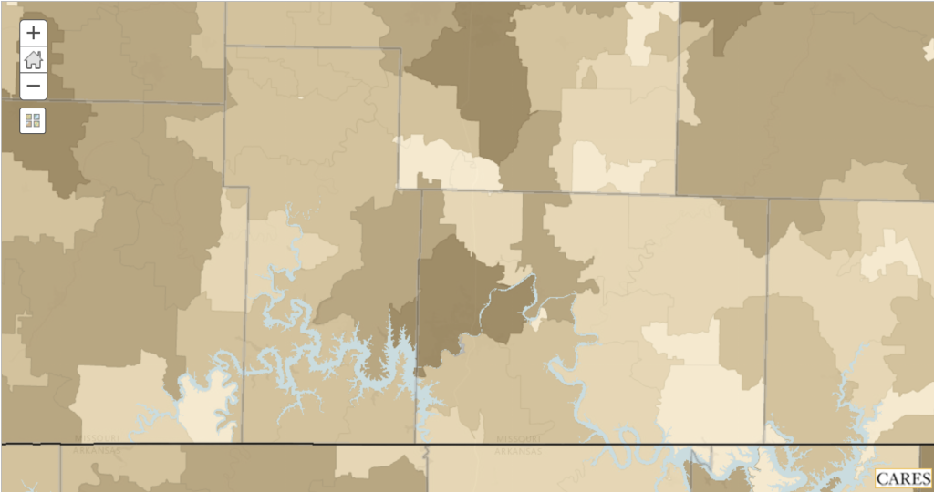
Discover the number of households in your ZIP code with no home computer or laptop.
Employment & Socio-economic Maps
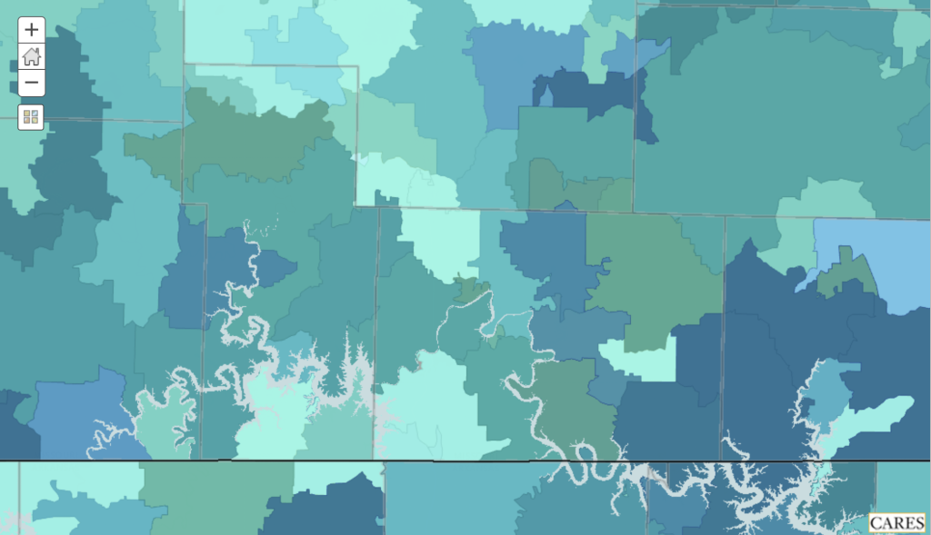
Identify ZIP codes in which the population falls 50%, 100%, and 200% below the federal poverty level.

Use this map to identify percentages of unemployed population by education attainment (e.g. no high school diploma, some college education, etc.).

Explore increases and decreases in your county’s labor force participation rate over the past 1, 3, 5, and 10 years.
Health Behaviors & Clinical Care Maps

Use this map to identify areas in your community with high concentrations of reported binge drinking.

Find drug overdose mortality counts for your county, as well as information on substance use treatment providers in your area.

Find primary care access rates in your county, as well as information on nearby hospitals and primary care providers.
Health Outcome Maps

Use this map to identify mortality and life expectancy rankings for your county.

Find census tract-level data on the prevalence of several chronic conditions, such as kidney disease, heart disease, diabetes, high cholesterol, and stroke.

Explore areas in your community with reportedly high concentrations of population with poor mental health and compare this against the accessibility rate of mental healthcare providers in your county.